


Data collection made easy
EZTag CE allows you to easily collect geospatial data, including points, lines and polygons, along with their specific attributes. Ready-to-use without programming, the EZTag CE data dictionary editor manages simple and relational data models. Users can customize the data capture properties to match their own office database structure.
Other benefits:
The EZTag CE Plan View swiftly and efficiently displays vector and raster map data, along with collected GNSS features. To ensure the very best accuracy from the mobile GIS/GNSS unit of your choice, EZTag CE allows you to collect valuable GNSS observations, necessary for post-processing.
Ready for post-processing
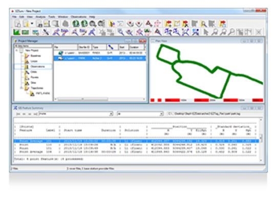
When combining EZTag CE's data collection and EZSurv's post-processing power, you can count on effortless post-processing at a single keystroke. EZSurv automatically post-processes your data using GNSS base stations located around the world. Post-processing enables greater accuracy and reliability: a must when it comes to data integrity.
")
")
")
")
")
")
")
")

